
May 23, 2019 General


A tremendous amount of misinformation, guesstimating, and wild wishful thinking is involved in wave heights. I thought this article, which I have adapted from one of the Bureau of Meteorology in Australia, would be helpful. Anyone who visits/uses the beach/ocean needs to understand this concept and the related terminology in use around wave / swell predictions.
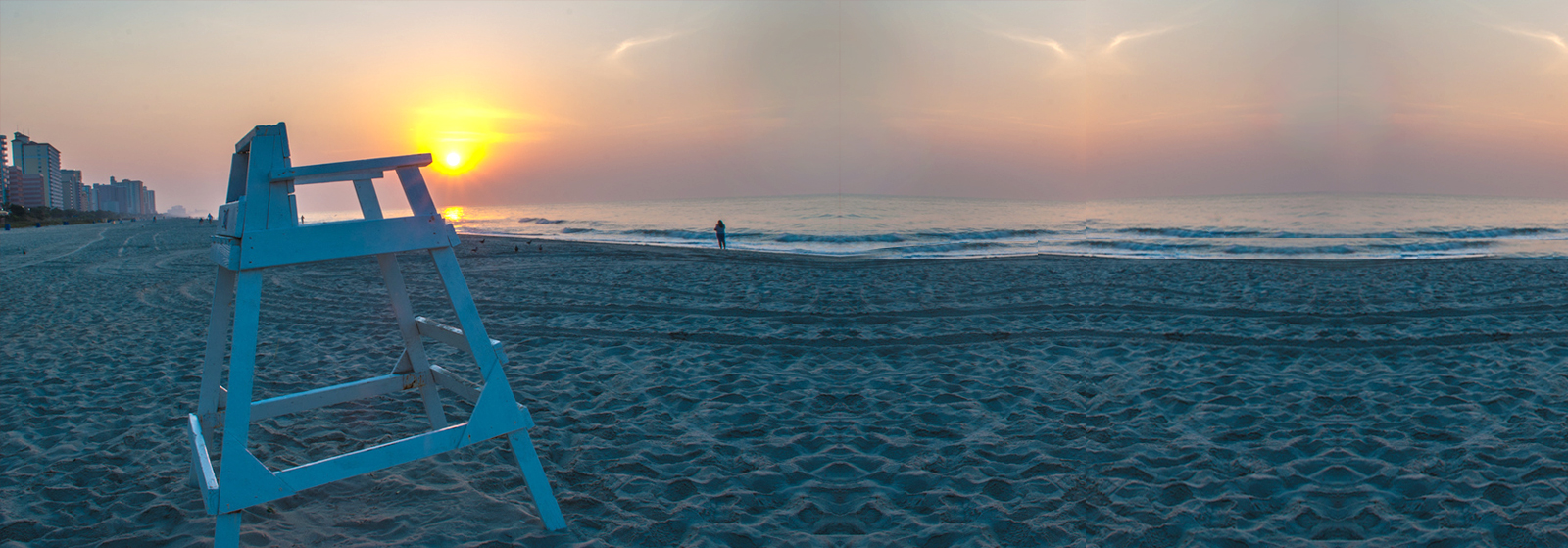
A lack of understanding costs the lives of many rock fishermen and boaties annually. It is also the cause of many swimmer rescues from flash rips. When these large waves hit the beach, the massive volume of water has to find its way back out to sea and can / easily drag unwary swimmers with it.
Predicting the size of the wind-generated waves from the sea around Australia is not as complicated as you might think—especially if you understand the concept of ‘significant wave height’.
While down at the beach or out on the water, you will experience a wide range of wave heights during your activity, and occasionally a genuine ‘big one’, the fabled “rogue”, “bomb” or “wave of the day”. However excellent a prospect they are to surfers, big waves can pose a danger to boaters and fishermen—particularly when they arrive at reefs, bar crossings, and deep-water coastlines, where the first indication of a wave’s actual size can be as it breaks on the rocks where you’re standing. These are the rock fisher killers, and why rock fishing is Australia’s most dangerous sport. They also cause many boat capsizes and sinkings because the anchor chain/rope was not long enough to accommodate the big ship.
The size and behavior of waves are determined by a range of factors, from the direction of the swell to the speed of the tide, prevailing ocean currents, the depth of the water, the shape of the seafloor, the presence of reefs and sandbanks, and even the temperature of the ocean and ever wondered why, on a vast beach, all the surfers are crowded into one or two spots? They have located “The Bank” and are using it to get a good ride. The surfers will also show you where the rips are. They use them as an ocean elevator to get a free ride back out the back for their next ride…
However, there is one factor that rules the size of the waves more than any other—the wind. Waves are caused by wind blowing over the ocean’s surface and transferring energy from the atmosphere to the water. The speed of the wind determines the height of waves, how long it blows, and crucially, the ‘fetch’—the distance that the wind blows in a single direction over the water.
Naturally, bigger waves result from conditions that cause strong winds to blow for a sustained period over a large expanse of ocean. The resulting waves can travel for hundreds or even thousands of kilometers, smaller waves being absorbed by larger ones, faster waves overtaking slower—gradually growing and arranging themselves into the regular ‘sets’ so familiar to lifeguards, surfers, and paddle-boarders. Understanding this, along with wave periods, assists the lifeguard in picking the best time and location to head out for a rescue.
The result of these interactions is that it is normal to experience a wide range of wave heights when on the water.
Also Read: The Importance of First Aid Services at Water-Based Events in WA
Utilising the standard international convention, the Bureau uses the concept of ‘significant wave height’ to notify ocean-goers of the size of swell and wind waves (or ‘sea waves’) in its coastal forecasts. Significant wave height is the average wave height of the highest one-third of the waves, from trough to crest.
Devised by oceanographer Walter Munk during World War II, the significant wave height estimates wave heights recorded by a trained observer from a fixed point at sea. As the following graph shows, a sailor or surfer will experience a typical ‘wave spectrum’ during their activity, containing a low number of small waves (at the bottom) and a low number of huge waves (at the top). The broadest area of the spectrum curve indicates the most significant number of waves.
The highest one-third of waves is highlighted in dark blue in the graph below, and the average height of waves in this group is the significant wave height:
This statistical concept can be used to estimate several parameters of the waves in a specific forecast. The highest ten per cent of the waves are roughly equal to 1.3 times the significant wave height, and the likely maximum wave height will be roughly double the considerable height. So, if you are going rock fishing or anchoring your boat near a reef, remember it is not good enough to look at one or two waves and she will right mate…..it won’t be, allow for the bombs or pay the ultimate sacrifice. No matter how good and fast the lifeguards are, sometimes we cannot save you.
While the most common waves are lower than the significant wave height, it is statistically possible to encounter a much higher wave, especially if you are in the water for a long time. It is estimated that approximately one in every 3000 waves will reach twice the height of the significant wave height, roughly equivalent to three times every 24 hours. As a reminder of this critical safety concept, the Bureau includes a message that maximum waves may be twice the significant wave height in all marine forecasts.
Most frequent, ‘significant’, and maximum wave heights
Mariners should not focus exclusively on the significant wave height in a forecast when planning a voyage. It is equally important to recognise the concept of the wave spectrum, know the definition of significant wave height, and be able to determine the expected range of wave heights.
Much like the median house price guide in the real estate sector, the significant wave height is intended as an indicative guide that can help you gauge the range of wave sizes in a specific area. While sailors can use the figure to evaluate the safety of an open-water voyage, surfers may use it to rate the likelihood of at least one ‘big one’ arriving while in the surf. Rock fishers should also know the dangers of the ‘big one’ washing them off the rocks.
Also Read: Why WA Schools Should Integrate Water Safety into Their Curriculum?
The Bureau’s Coastal Waters and Local Waters forecasts include wave height information for seas and swells, covering the Australian coastline and capital city waterways. These forecasts are also transmitted by marine radio (HF and VHF).
Maps and tables of swell and wind wave heights are also available on MetEye—the Bureau’s interactive weather-mapping tool—which allows mariners to ‘play the weather forwards’ over a specific stretch of water for the coming week.
More information on MetEye’s wind and wave features can be found in these recent articles:
About marine weather services: Information on the Bureau’s marine forecasts and terminology.
Preparing for your trip: Boating tips from the Australia New Zealand Safe Boating Education Group.
Important note: Please be aware that wind gusts can be 40 percent stronger than the averages in coastal forecasts, while maximum waves may be up to twice the significant wave height.

5 things you will learn at the Broome Pool Lifeguard Training Course
August, 29 2023

Do Not Resuscitate tattoos – What would you do?
November, 9 2019

Drowning Doesn’t Look Like Drowning
May, 23 2019

Automatic External Defibrillator AED Quiz
October, 11 2019

Rock Fishing- Australia’s most dangerous sport
October, 12 2019